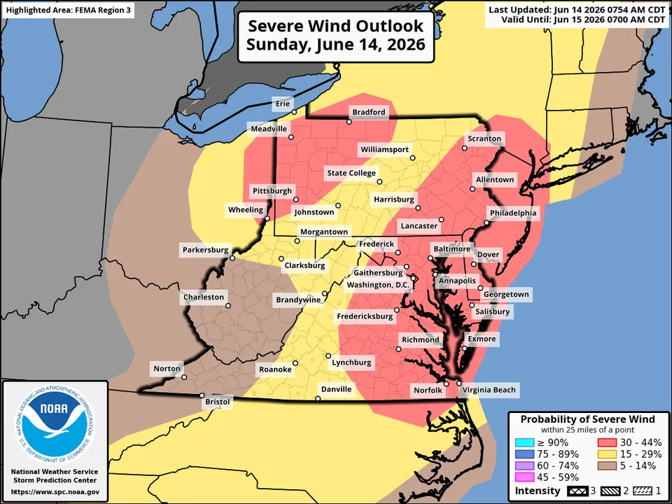
With thunderstorms intensifying to the southwest, and an unstable environment over the area, the National Weather Service has placed us under a severe thunderstorm watch until 11 p.m.
The watch highlights potential for wind gusts of 70 mph and hail to the size of ping pong balls. Dangerous lightning is also probable, and a brief tornado can't be ruled out.
A technical discussion released earlier in the afternoon noted the abundant storm fuel present and the likelihood for some wind damage. We anticipate storms to arrive in the Beltway area between 6 and 10 p.m. They may arrive slightly earlier in our far western areas while affecting areas near and east of the bay between 8 and 11 p.m.
Remember that a severe thunderstorm watch means conditions are favorable for severe storms, but not a guarantee. Stay alert. If a severe thunderstorm warning is issued for your location, it means a severe storm is imminent and you should seek shelter immediately.