


We're still watching radar. The vast majority of thunderstorms that are currently well northwest of town, where a severe thunderstorm watch is in effect, are still expected to focus their rains on the northern half of the area tonight.
Yes, one short-term model(HRRR) still has a few weaker "garden-variety" strength storms popping this evening closer to the Beltway. They should move away quickly this evening.
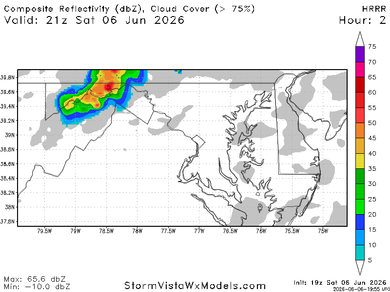
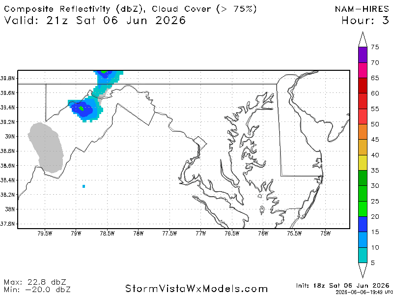
Overall, models agree the strongest activity stays north of town, including the high-resolution NAM.
We may see a few more showers (maybe a brief rumble of thunder, too) nearer dawn as the front moves through.


![Q&A: Decent Monday with less smoke. Humid Tuesday with severe storms possible [Sundays@7 Live Chat]](https://storage.ghost.io/c/9b/2a/9b2aed80-72a3-473a-aaf8-035d8a6ee8cb/content/images/size/w960/format/webp/2026/07/Screenshot-2026-07-19-at-18.39.44.png)

