Always a human at the helm: Updated around-the-clock by Capital Weather meteorologists.
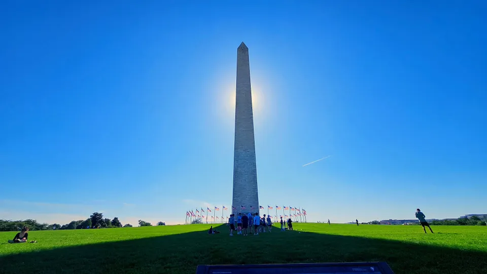
Happening now: Partly cloudy through evening with temperatures dipping into the 60s. Lows tonight mainly in the low and mid-50s.
What’s next? Stellar weather Tuesday and Wednesday, with 70s to near 80. Heating up after that: 80s Thursday and near 90 Friday and Saturday. Sunday brings the next chance of rain.
Forecast in detail
Tonight: Partly cloudy and pleasant. Evening 70s and 60s settle in the 50s for lows. Light winds from the east. Confidence: Medium-High
Tomorrow (Tuesday): This is a candidate for the nicest day of the week. Expect beautiful sunshine, some puffy clouds, light winds, and highs near 75. With low humidity and light winds from the northeast, this has the makings of a 10 out of 10. Confidence: Medium-High 😎 Nice Day!
Tomorrow night: Mostly clear and crisp. Lows range from the upper 40s in our cooler spots to the mid- to upper 50s downtown. Confidence: Medium-High
A look ahead
Wednesday is another fantastic day to be outside with sunny skies, low humidity, and highs near 80. Wednesday night lows are in the 50s to near 60. Confidence: High
Sunshine dominates Thursday through Saturday as highs rise from near 85 on Thursday to near 90 on Friday and Saturday; good days to visit the pool. By Saturday, you'll notice an uptick in humidity but nothing too extreme. Nighttime lows trend warmer as well, from 55 to 65 Thursday night, to 65 to 70 Friday night.
Sunday is partly sunny and a bit muggy, with a chance of showers and storms, especially in the afternoon and evening. Highs are well into the 80s. Confidence: Medium
Today’s daily digit — 8/10: More clouds today than over the weekend but still delightful. | 🤚 Your call?
The digit is a somewhat subjective rating of the day’s weather, on a 0-to-10 scale.