


8:30 p.m. update: The flood watch has been canceled as the threat for a few flooding downpours has eased.
From earlier…
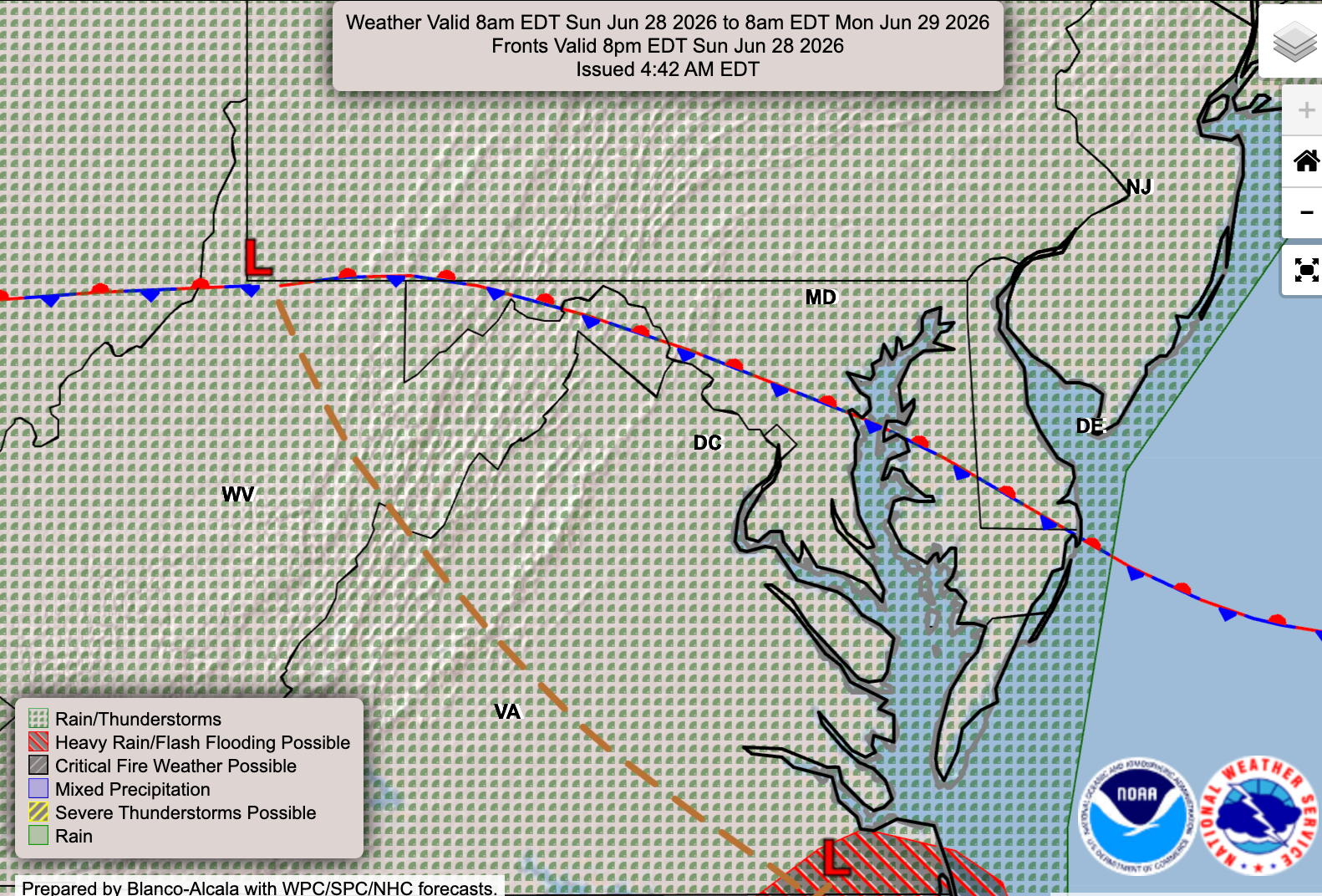
Urban drainage limitations create a slight flooding risk if we see repeated, slow-moving downpours. A flood watch has been issued for the affected area. A stationary front overhead is the focal point for the rain threat.
It's uncertain how much downpour activity might materialize. Chances are low for issues tonight and tomorrow afternoon, though problematic ingredients are around.
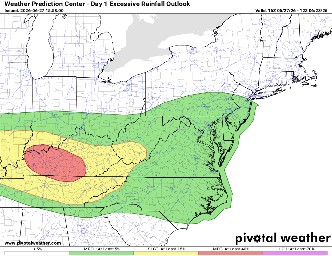
Thunderstorms have a marginal chance for flooding downpours tonight (graphic above). According to our local Baltimore/Washington National Weather Service office:
An instance or two of flooding is possible in urban, low-lying, and poor drainage areas ... as multiple showers and thunderstorms move through northeastern and central Maryland.
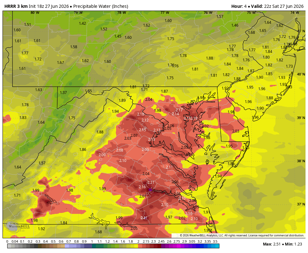
The atmosphere has around 2 inches of precipitable water (graphic above) available to rain down over areas unlucky enough to see repeated, slow-moving downpours.
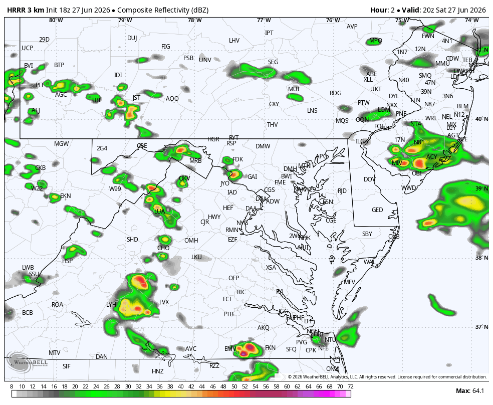
Forecast radar (above) shows west to east movement along our stationary frontal boundary tonight. Patchy flooding may extend to tomorrow afternoon's storms–plus a slight wind threat–and they may focus a bit south of town.


