


Moisture, instability, and lift may combine over our region late this week. The European weather modeling system and two other severe storm modeling systems are signaling chances for strong to severe storms starting Thursday.
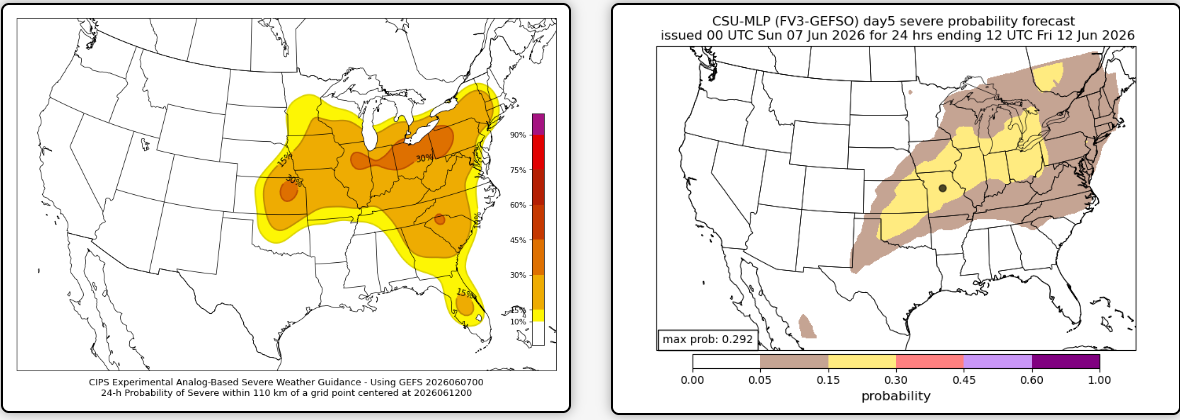
Thursday's panels show storm potential from the CIPS model (above left) and Colorado State, or CSU (above right). Lower pressure may be draped across the region Thursday and especially Friday, allowing storm clouds to more easily bubble up.
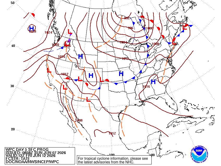
Not to mention an approaching cold front getting closer on Friday, helping to provide lift. Here are the CIPS and CSU panels for Friday severe storm potential:
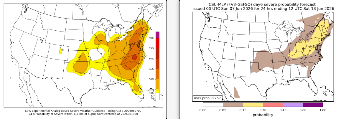
So far this doesn't look like a major, widespread outbreak but worth watching for a few strong to severe storms. Enough could change to shift confidence either way — this is still a lower-confidence outlook as the ingredients come into focus.


![Q&A: Decent Monday with less smoke. Humid Tuesday with severe storms possible [Sundays@7 Live Chat]](https://storage.ghost.io/c/9b/2a/9b2aed80-72a3-473a-aaf8-035d8a6ee8cb/content/images/size/w960/format/webp/2026/07/Screenshot-2026-07-19-at-18.39.44.png)


