


Don't be shocked if you hear some rumbling late tonight, particularly if south and east of Interstate 95.
A main cause for the potential is a warm front pushing northward through the region. The warm front sets up more summerlike conditions the next two days, capped by another severe storm risk Thursday.
In their afternoon update, the Storm Prediction Center placed parts of southern Maryland under a Level 1 out of 5 severe weather chance for tonight.
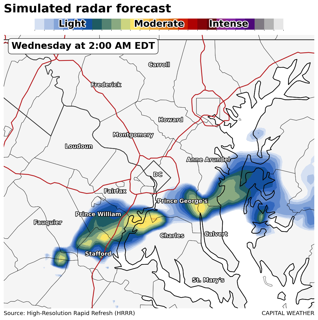
An atmospheric disturbance riding our way from the Midwest and Ohio Valley may help spark some storms along the wind shift that is the warm front. Weather modeling isn't too enthused but does show some activity developing, such as on the HRRR run below featuring some convection south and southeast of the Beltway.
Given the timing, storms probably won't be super intense. But any that pop could be noisy and offer an isolated severe storm report.
"Adequate shear and lift may lead to gusty winds and hail within stronger storms," the National Weather Service in Sterling, Virginia, wrote.


