
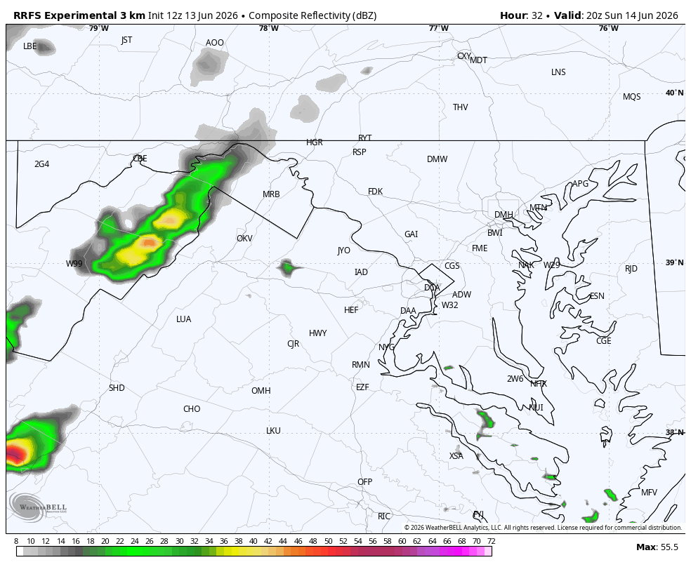
We should see hit-or-miss storms tomorrow afternoon and evening. There's a chance storms become numerous and very potent. We'll keep you updated so please check back. Latest thinking:
Timing: Subject to change but currently looks like 2 to 6 p.m. north and west of town; 3 to 8 p.m. Beltway; 5 to 11 p.m. south and east
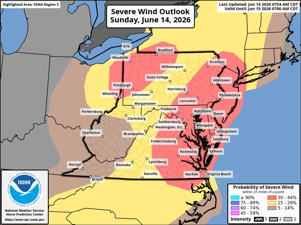
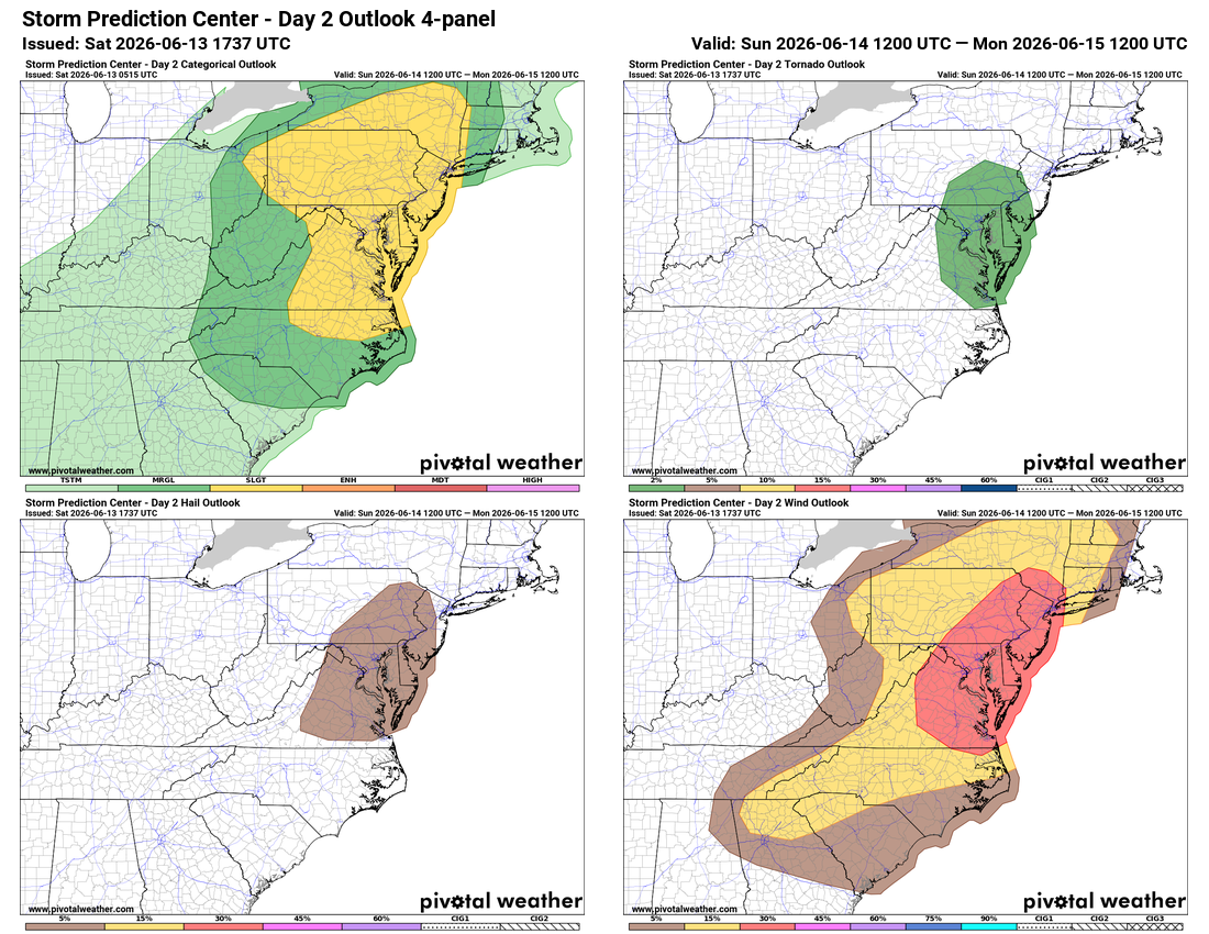
Threats: Damaging wind gusts over 57 mph primarily; slight chance for a tornado or large hail (see SPC graphic above)
Probability: Slight to enhanced; at least a 2 out of 5 chance for a couple severe storms in the region
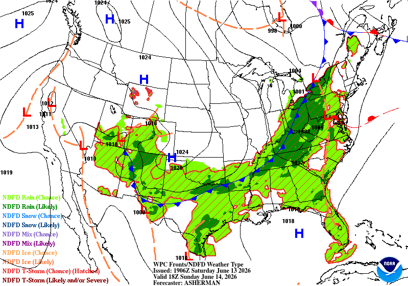
Location: Entire region. Storms will move from west to east. Popping as early as 2 p.m. in the Blue Ridge before moving eastward to Beltway. Lasting latest, near or just past midnight, around the Bay.
Confidence: Low-Medium due to weather models disagreeing. Potential is there, especially east of town, for powerful storms. Questions remain on whether they can initiate amid the prime severe storm ingredients that are available.
Flagged by our severe storm expert Jeffrey Halverson:
Note a weak wave and secondary warm frontal surge ahead of the cold front. This will enhance convergence/uplift and the warm boundary could generate low level backing of wind/local helicity.
The atmosphere's afternoon ingredients are there to potentially produce one of the more significant severe weather setups of the season. We'll keep you posted.