





Always a human at the helm: Updated around-the-clock by Capital Weather meteorologists.
Happening now: Welcome to our new home. Mostly clear, temperatures in the evening 60s to near 70. Clouds slowly build late tonight as lows dip into the 50s to near 60.
What's next? June kicks off with unseasonably comfortable weather. Through midweek, expect mainly bright skies and highs in the mid-70s to mid-80s.
Forecast in detail
Tonight: Slowly increasing clouds. Not-as-cool lows ranging through the 50s to near 60 in typically warmest spots. Light breezes calm by dawn. Confidence: High
Tomorrow (Monday): Partly to mostly sunny. Morning 50s warm to afternoon highs in the mid-70s to around 80. Midday and afternoon breezes from the northeast may gust near 20 mph. Confidence: Medium-High 😎 Nice Day!
Tomorrow night: High-level clouds may periodically veil the moon and stars. Lows may be a hair cooler, in the lower to mid-50s. Confidence: Medium-High
A look ahead
Tuesday offers a mix of sun and clouds, with highs in the mid- to upper 70s. Just a slight chance (about 20 percent) that a weak disturbance sparks a passing shower or thundershower. Clearing skies at night with lows in the 50s. Confidence: Medium
For now, Wednesday looks pleasant too with continued sunshine and highs in the mid- to upper 70s. However, we'll need to watch in case an offshore storm system tries to introduce more clouds or even shower chances. Be sure to check back for updates. Confidence: Medium
We have higher confidence in sunshine and rising temperatures after that offshore storm scoots away. Thursday should get well into the 80s, and we could be looking at highs approaching 90 Friday into the weekend.
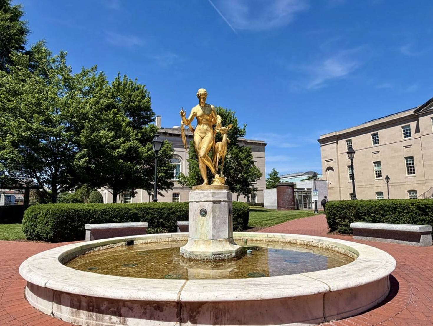
Today’s daily digit was — 9/10: A magnificent last day of May, with spectacular sun and comfy 70s! | 🤚 Your call?
The digit is a somewhat subjective rating of the day’s weather, on a 0-to-10 scale.


