



Given an atmospheric setup reminiscent of one Sunday that caused heavy rain and flash flooding, a flood watch has been hoisted for much of the DC area from 4 a.m. until 11 a.m. Wednesday. Several inches of rain could fall over a few hours in the hardest hit spots, and it may mess with the morning commute.
Scattered showers could develop as soon as late evening, in the hours around midnight, but then potentially turn heavier toward the pre-dawn. Some high-resolution weather modeling suggests that hefty downpours could then roam through a couple hours past sunrise.
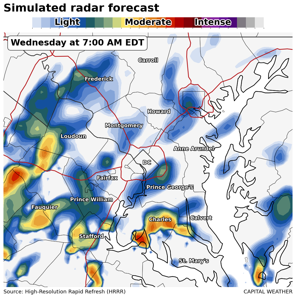
Despite the watch, and even this short distance from the start of the potential rainfall, it's still rather uncertain whether or not it will become widespread or be prolonged enough for significant impact. But there are several reasons it can't be ignored.
- Moisture levels forecast to rise to near 200% of normal by the predawn.
- A warm front moving through as a catalyst for rainfall development.
- A passing atmospheric disturbance to help spark storms.
While it's not guaranteed there will be flooding, the ingredients above argue for plentiful potential should storms become established. We've seen some of that down south of Richmond this afternoon from the same general setup – up to 2 inches in an hour about 30 miles to its southeast.


