



DC just missed 90 Monday, partly thanks to some showers and storms that popped up during the early afternoon. With 35 days at or above that mark so far this year, we need one more to get to last year's final tally.
The average in the city is 40 days at or above 90, per the 1991-2020 numbers used by the National Weather Service. If the forecast is right, we'll be around that mark by this time next week.
The 35 days at or above 90 so far is tied for 20th most at this point in the year.
While it's not an extreme pattern advertised ahead, it is one that would replace a dip in the jet stream over our region with more high pressure, especially off the Southeast coast. That positioning will also allow for some of the higher-humidity heat we've seen this year.
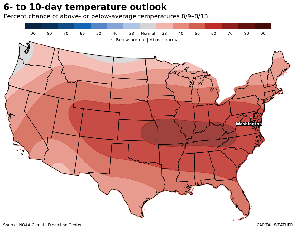
Dew points — the best way to measure humidity in the air — will rise to the mid-70s by mid- or late week and then stay at or above 70 through the weekend. That'll add at least 10 degrees to the apparent temperature, making it feel more like 100 to 105 or sometimes higher.
DC averages 10 days in the 90s in August and three in September. Picking up just the normal number ahead would allow a finish with more than a week above the yearly typical in our current climate. The last 90 of the year usually arrives around the second week of September.


