


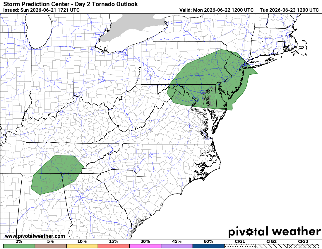
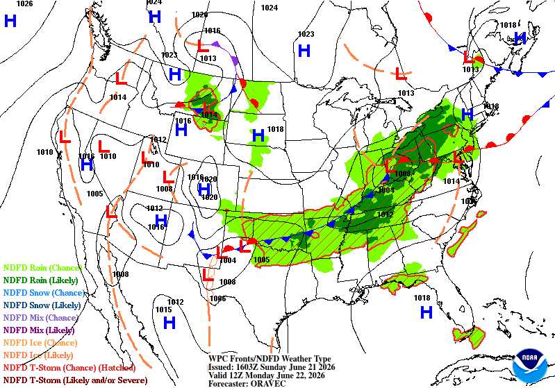
The region may see a few clusters of thunderstorms tomorrow, with potential for a line or two of strong to severe storms. Note, too, an elevated chance for a few tornadoes:
Timing: Isolated morning shower; storms likely after 2 p.m. It‘s uncertain if they will continue into the evening. Stay tuned as we watch how many rounds of rain arrive tomorrow, and refine timing.
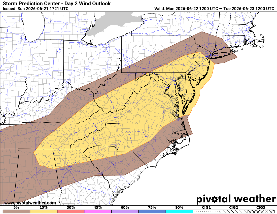
Primary threat: Damaging wind gusts over 57 mph possible.
Location: Entire region. Storms expected to generally move from west to east.
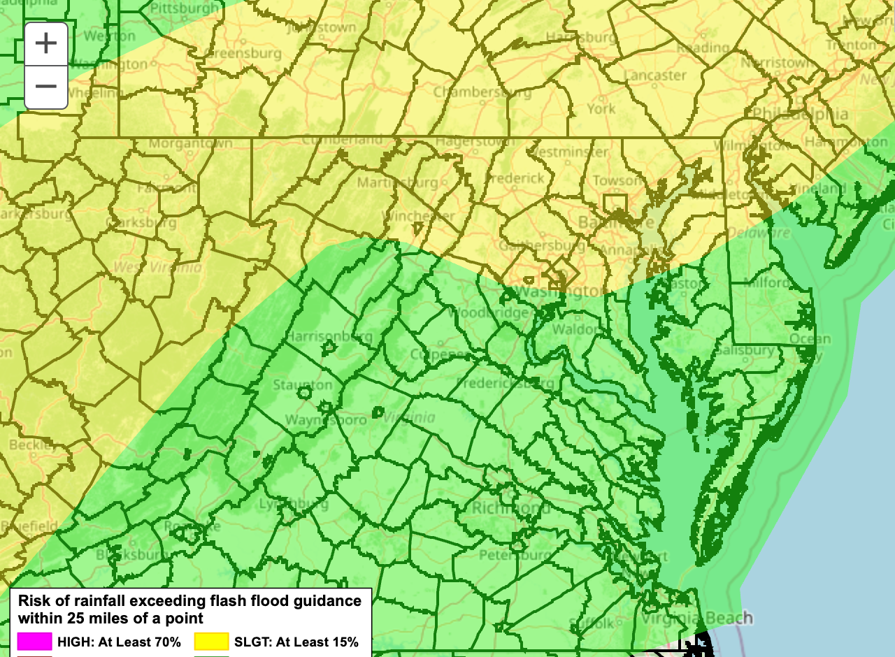
Other threats: A few flooding downpours (graphic below) are possible along with the the tornado threat (graphic near top).
Our severe storms expert, Jeffrey Halverson, notes:
We will have to contend with warm front passage in the morning, and we will see how far north it moves.
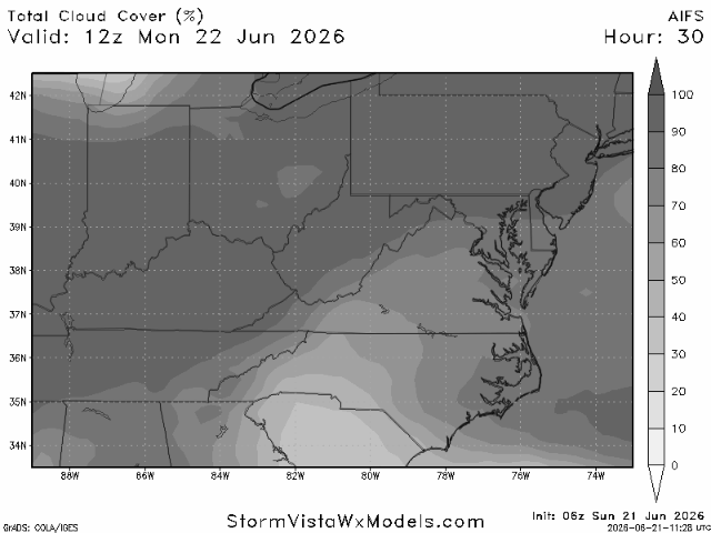
He thinks "cloud cover, at least the first half of the day" is possible but "if we get into afternoon sun, then we destabilize."
Forecast confidence: Low-Medium. More detail coming from us tomorrow including where, if any, significant tornado threat might materialize.


