


A wicked line of storms swept through the DC area Thursday evening, unleashing wind gusts near 60 mph and toppling trees in some areas.
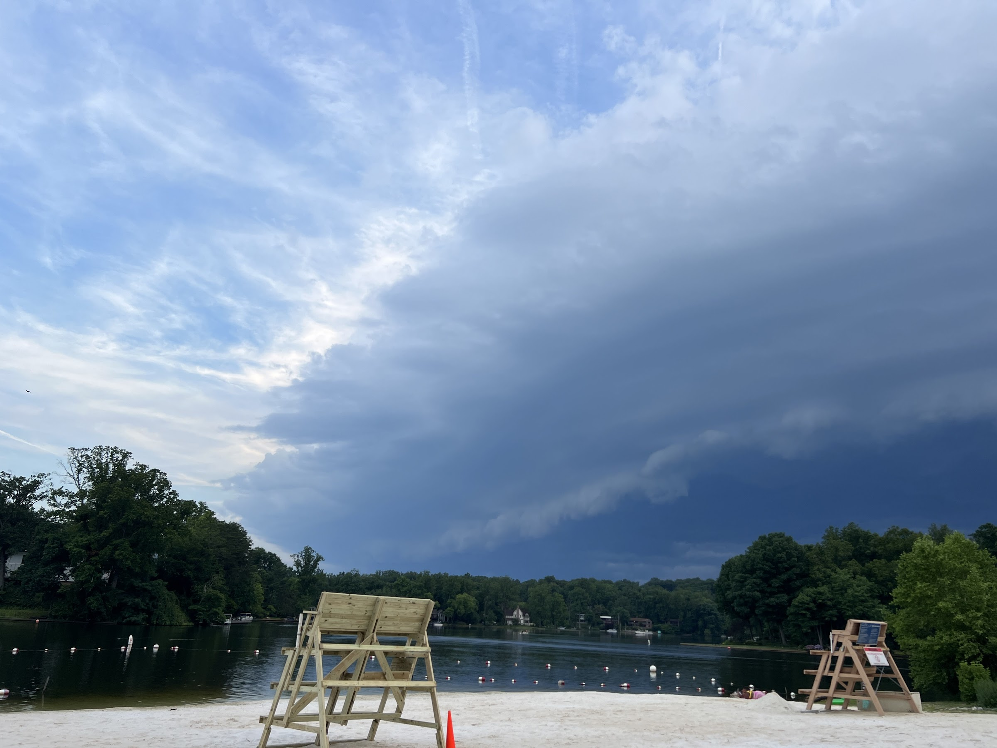
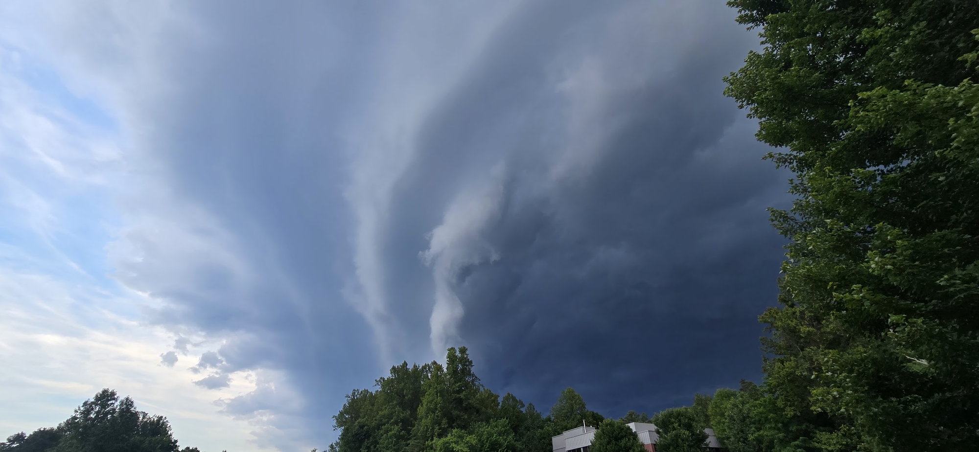
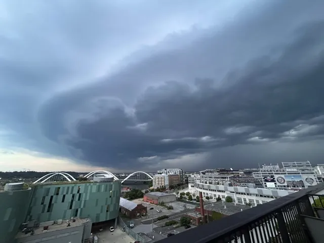
The storms produced menacing skies as they passed through, featuring ominous shelf clouds. They are low, wedge-shaped clouds that form along the leading edge of a thunderstorm, often signaling the arrival of strong, gusty winds and cooler air.
Here are some of the scenes of the storms on approach:
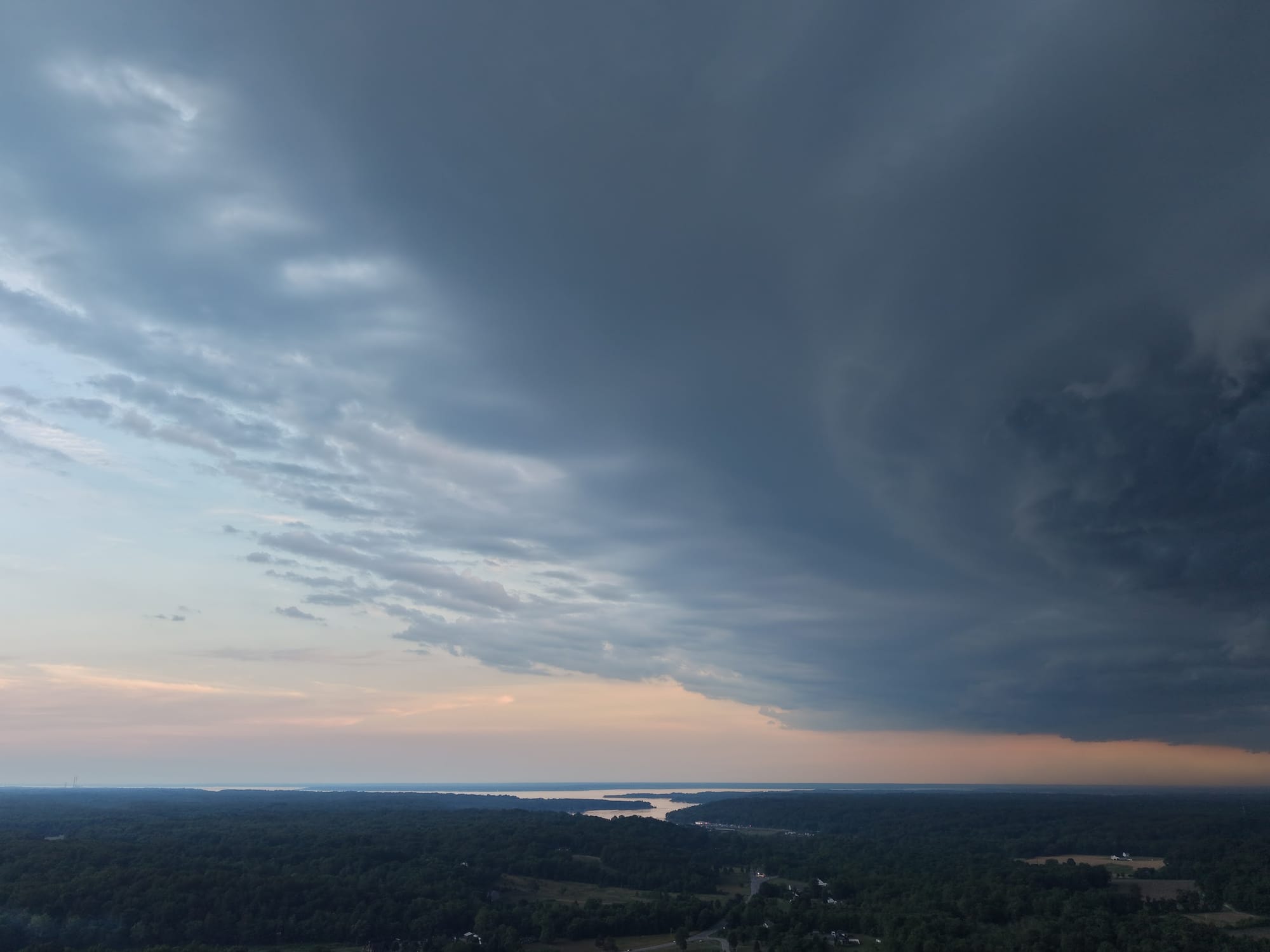
Thunderstorms approaching Columbia, MD@capitalweather @spann @TonyPannWBAL @JustinWeather@MikeTFox5 pic.twitter.com/z8W0XSLfKm
— Sami (@sami733777) June 12, 2026
Approaching shelf cloud (or two?) while DC Fire and EMS race to a working fire in the 700 block of 8th Street SE. Massive billows of smoke in that direction. Hope all are well. pic.twitter.com/CPBr27e7xD
— Maureen Cohen Harrington (@VeganSkaterDC) June 12, 2026
Shelf cloud incoming over Bethesda, MD @capitalweather pic.twitter.com/hHG2E5nQik
— Danny Kemp (@dannyctkemp) June 12, 2026
@capitalweather shelf cloud in South Arlington pic.twitter.com/SlD6be3Mzo
— Larry Hsia (@FunBobby2000) June 12, 2026
@capitalweather Germantown pic.twitter.com/r7k8OTle1a
— Robbie Martin (@RobbieMartin3) June 11, 2026
Some of the photos in the wake of storms were jaw-dropping as well:
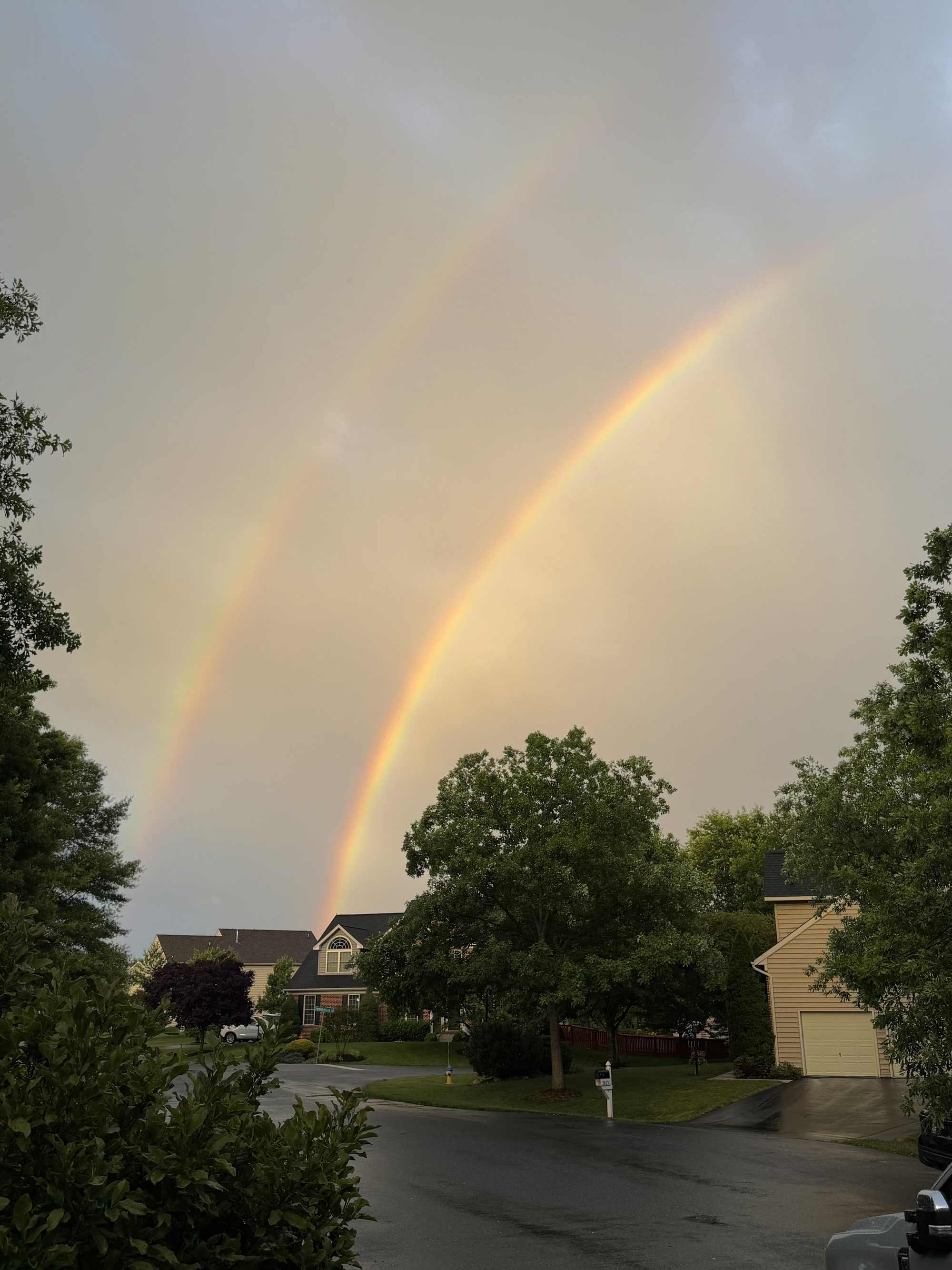
@capitalweather fleeting remnant rainbow / Frederick MD pic.twitter.com/GkAsQjJ2E4
— Patrick Roan (@adlaiobie) June 12, 2026
Spectacular sunset after the front came through. Taken near Front Royal. @capitalweather pic.twitter.com/GNwjxavIG9
— Keith Arnold (@karnoldphoto) June 12, 2026


