


Despite a fairly energetic storm system sweeping by to our north, the risk of thunderstorms in the DC area has dropped considerably compared with previous forecasts.
Our region is caught between two zones where the storm threat is greater. It's elevated in New England, where stronger winds aloft could help storms organize. It's also higher to our south and east, where more sunshine and heat could fuel stronger thunderstorm development.
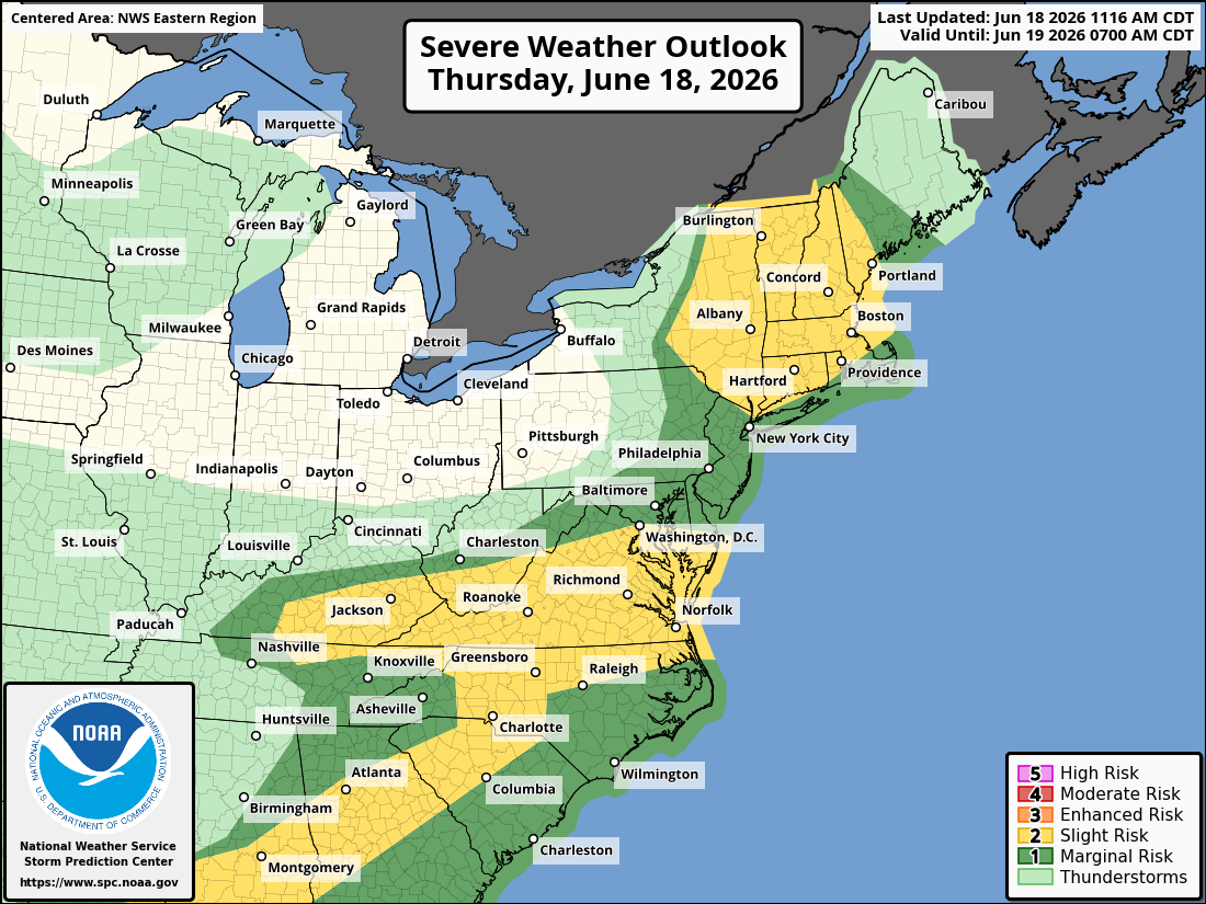
High-resolution computer models show little to no storm activity in the Beltway area through tonight. At most, a passing shower or two is possible. However, a few strong to severe storms could develop toward evening in Southern Maryland and Virginia's Northern Neck.
While few will complain if much of the area avoids severe weather, we could certainly use the rain. The National Weather Service projects less than 0.02 inches of rainfall for much of the region.


