


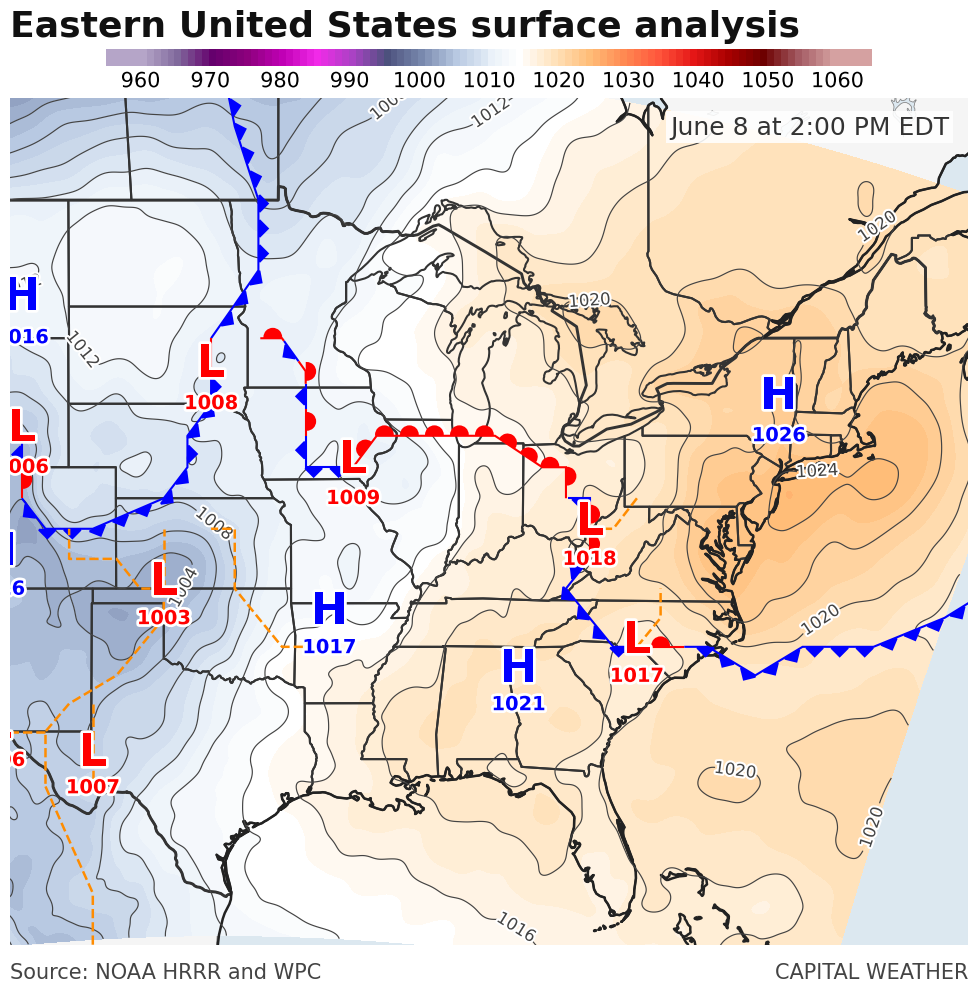
Perhaps somewhat counterintuitively for June, high pressure is delivering us a relatively pleasant — and cloudier-than-recent — day across the region to open the workweek.
A cold front that slid through the area Sunday has sunk well to the south. Strong high pressure over New York and New England is part of the cause for the front migrating to the Carolinas.
Clockwise winds around the high mean winds out of the east and northeast around here, off the cooler Atlantic Ocean. Water temperatures well offshore to our east and northeast are in the 50s and 60s.
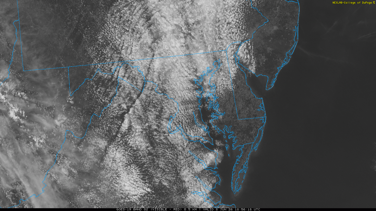
The cooler oceanic air is also comparatively moisture laden. Just enough to increase clouds in our skies. Weather-watching locals probably know this is fairly common from an east wind off the ocean!
After a high of 93 on Sunday in DC, and three days in a row of 92 or higher, temperatures in the 70s this afternoon feel like quite a reprieve. It will be short-lived, as heat builds again with more 90s on the way later in the week.


