



A backdoor cold front, moving south toward DC, brings a small chance for a few gusty storms and flooding downpours — especially 6 p.m. to midnight. The front should sag south of us as the night wears on.
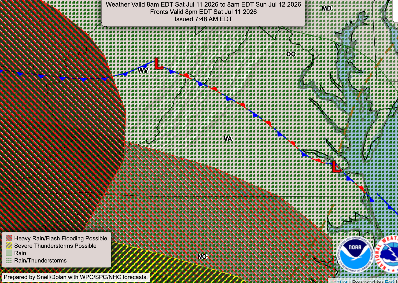
For those locations that see rain tonight, amounts may vary from a tenth of an inch to a half-inch over short distances due to the nature of these hit-or-miss showers and storms.
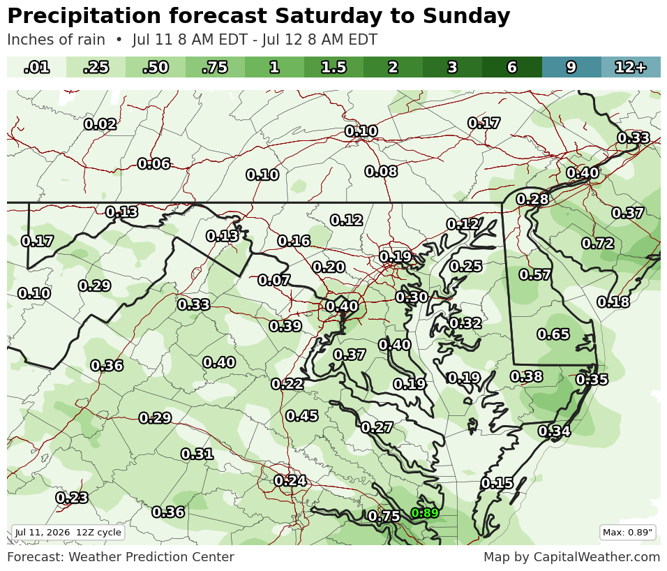
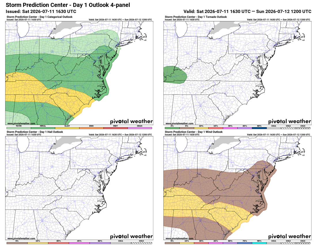
Only a marginal chance (upper left panel, below) that a few storms tonight turn severe, with damaging wind gusts (lower right) per the Storm Prediction Center.
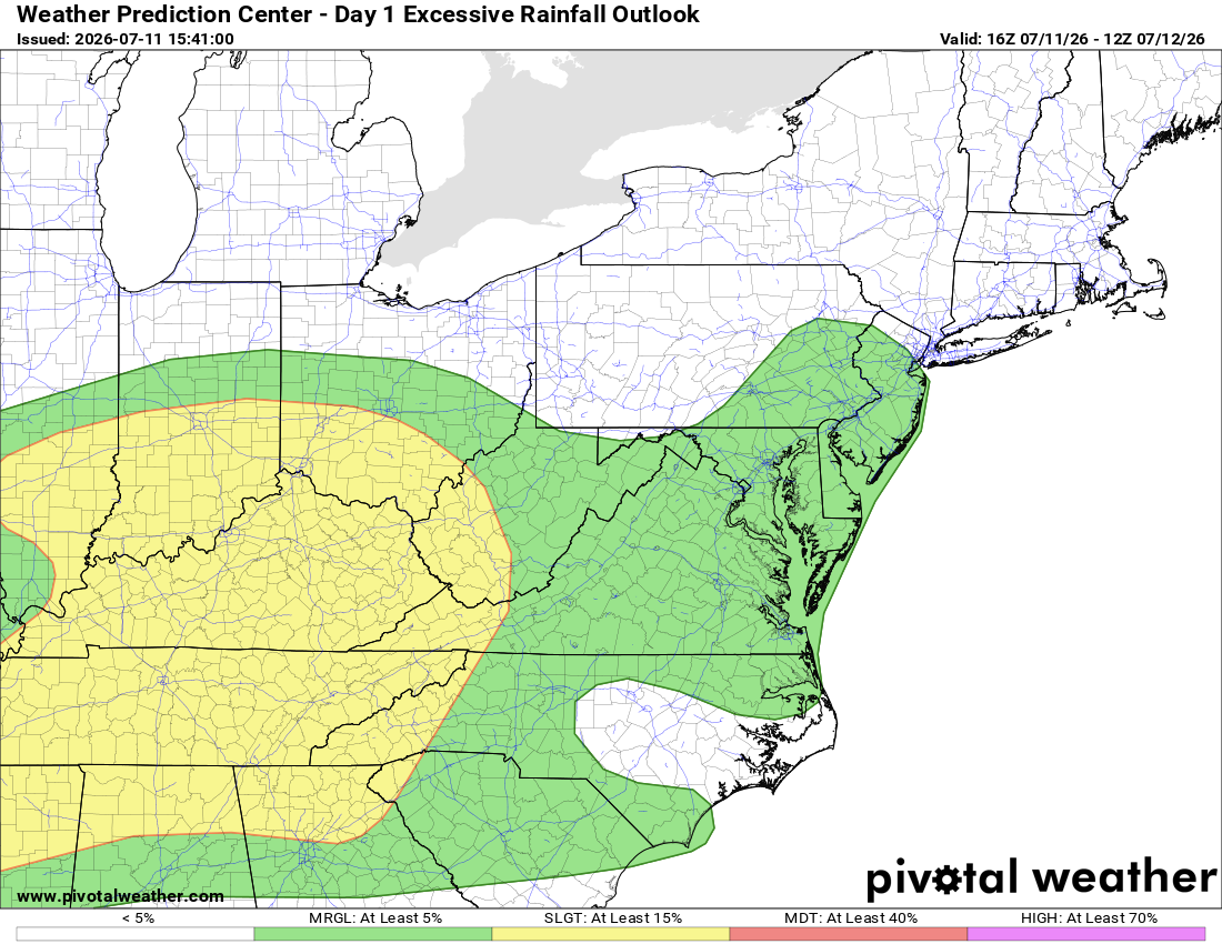
A few flooding downpours remain marginally possible as well, to recap that the threat could develop but chances are low.
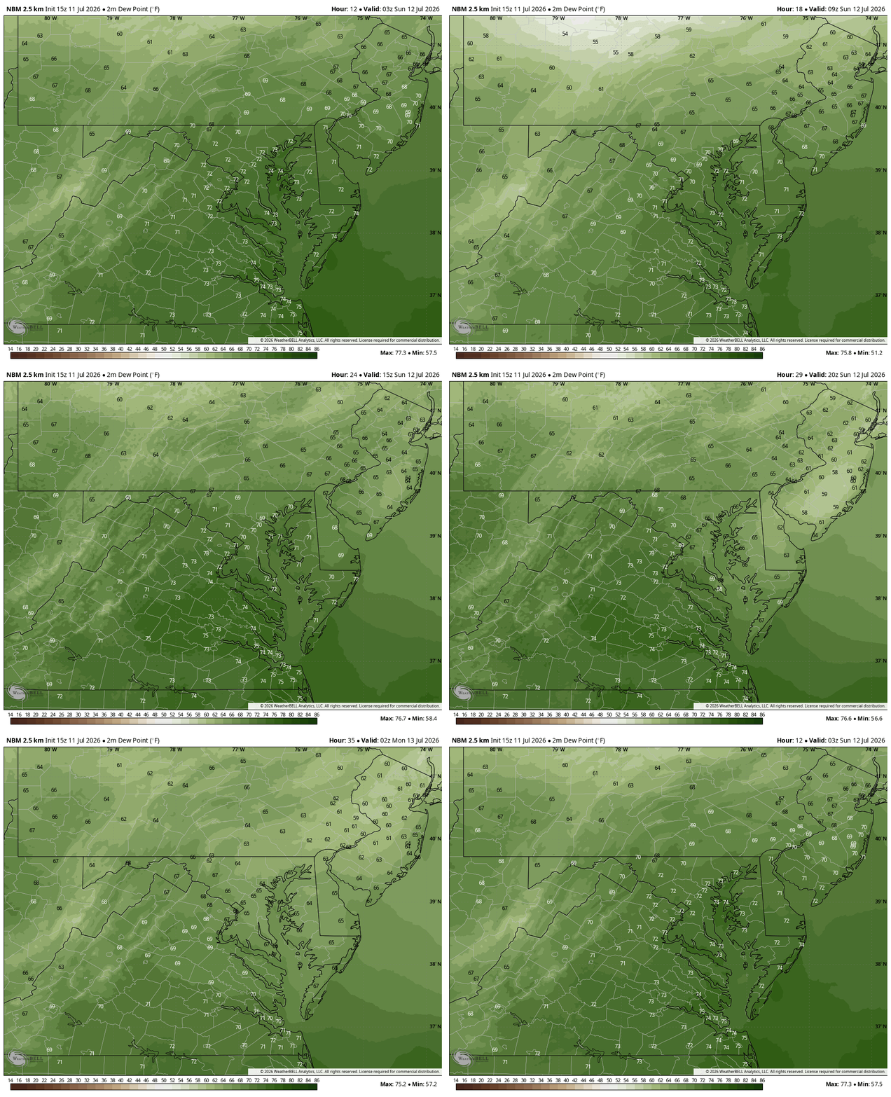
The best news: Drier, more comfortable air slowly – somewhat unsteadily – arrives late tonight and more so by tomorrow afternoon. Enjoy the less humid air behind the front!


![Q&A: Near-record heat possible Wednesday. Enjoy tamer warmth beforehand! [Sundays@7 Live Chat]](https://storage.ghost.io/c/9b/2a/9b2aed80-72a3-473a-aaf8-035d8a6ee8cb/content/images/size/w960/format/webp/2026/07/Screenshot-2026-07-12-at-19.06.34.png)


