



As we pass the peak of this latest blast of heat, it's again time to start thinking about thunderstorm potential. Odds are up each afternoon and evening from Thursday through Saturday, when the highest risk of strong to severe storms presents itself.
There's just a slight chance of an isolated storm as a front sinks through the area this evening into the night – any that do fire up could be locally strong, and there's a Level 1 out of 5 risk across northern Maryland. The main story for now and into Friday is wildfire smoke.
Maybe a somewhat better shot at showers or storms late Friday. It's still looking more miss than hit, in part because of drier air behind the front that passes tonight. Odds for a little rain may rise a bit at night.
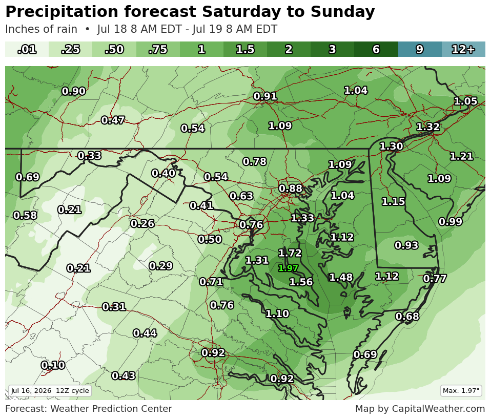
Saturday offers the highest chance of strong to severe storms and appreciable rainfall. About half an inch to an inch of rain is expected, most east and least west.
A strengthening area of low pressure — passing the Great Lakes and the international border of Canada and the United States — will allow moisture to surge north ahead of an approaching cold front. Highs near and above 90 should provide extra fuel.
Scattered storms probably develop in the afternoon, either along the higher terrain to the west or on a wind shift near the eastern edge of the Appalachian foothills. From there, scattered activity likely rolls through the region, perhaps into evening.
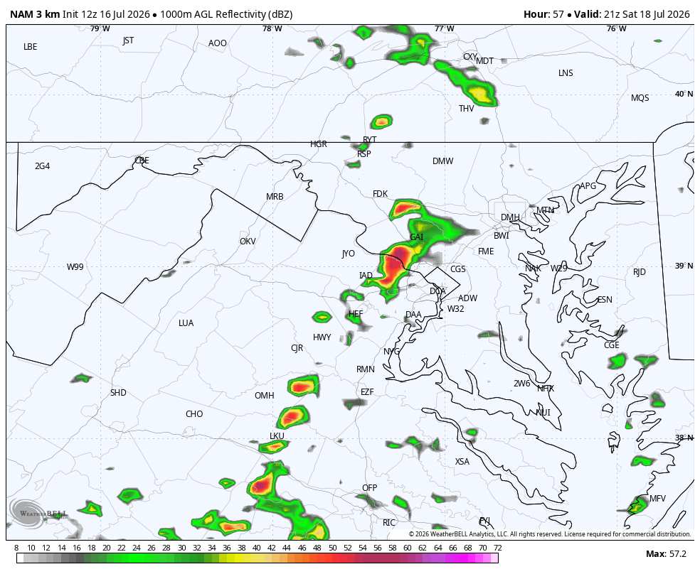
"Gusty thunderstorm winds will be the likely threat with these storms," the Storm Prediction Center wrote in a discussion. The center has hoisted a Level 2 out of 5 risk for the potential.
A few showers could linger into early Sunday, and it's not impossible southern Maryland sees a storm late, but the forecast has been trending drier for the back half of the weekend overall.


