


Record-challenging heat and oppressive humidity levels will set the stage for scattered strong to severe late day storms for the second day in a row.
The trigger for today's storms will be a cold front approaching during the late afternoon and evening. The most likely timing is between 5 and 9 p.m., progressing from west to southeast.
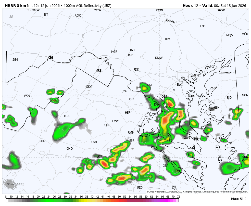
The risk is lowest in our far northern and northwestern areas (north and west of Interstate 70) and higher south and east of DC, especially toward Southern Maryland, Virginia's Northern Neck and the southern Delmarva.
Confidence in disruptive storms developing in the Beltway area is lower compared to yesterday.
The National Weather Service has placed the area under a Level 2 out of 5 risk for severe storms. As was the case yesterday, damaging wind gusts are the primary threat, although heavy rain, frequent lightning and some small hail are also possible.
Yesterday's storms unleashed wind gusts up to 60 to 74 mph in several locations, toppling trees and knocking out power to thousands. The Weather Service received several dozen reports of damaging gusts. The fast-moving but picturesque storms generally produced less than 0.25 inches of rain.
Rainfall totals from today's storms are not expected to be substantially higher.


